Monthly estimates
October 2026
97.9K
Estimated downloads
-50.3%MoM
$1.0M



See Google Play listing details and the ad activity observed by SocialPeta.
Store intelligence
Listing details from the current store market, including the developer, version, price, and categories.
Seller / developer
onXmaps
Market performance
See onX Hunt: Offline Hunting Maps's estimated downloads, revenue, and available markets for the latest complete month.
Monthly estimates
October 2026
97.9K
Estimated downloads
$1.0M
Product information
Read the store description and view the official screenshots.
Limited-time content
See recent store events for onX Hunt: Offline Hunting Maps and when they are available.
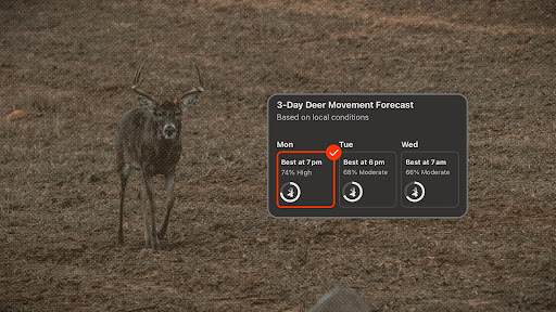
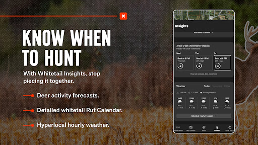
Stop guessing. Know when to hunt in your area with Deer Movement Forecast. View predicted whitetail activity based on 100+ million anonymized trail camera images cross referenced with 20+ weather factors to determine when deer in your area are most likely to move. If a cold front rolls in, wind shifts, or pressure drops, your predictions update in real-time so you can adjust your hunt strategy on the fly.
Version records
See when each onX Hunt: Offline Hunting Maps version was released and its store description.
Version
varies_with_device_2026-10-23Updated on
Description
Ranking preview
Rankings for United States over the past 30 days. Open SocialPeta for daily charts and more categories.
Top Free
Current rank
#2
30-day best: #1
Previous rank: #3
Nov 3, 2026
Top Grossing
Related apps
Find more apps with a similar category, developer, or advertising pattern.
Advertising intelligence
Channels, countries, and creative volume observed by SocialPeta in the past 30 days.
1,097
Creatives observed in the last 30 days
3,604
Creative samples
Browse recently observed image, video, carousel, and playable ads.
onXmaps, Inc
 YouTube
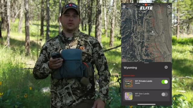
No public ad copy is available for this sample.

onXmaps, Inc
YouTube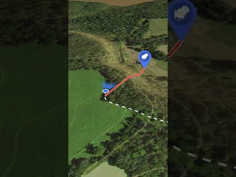
No public ad copy is available for this sample.
onXmaps, Inc
YouTube
No public ad copy is available for this sample.
onXmaps, Inc
YouTube
No public ad copy is available for this sample.
onXmaps, Inc
YouTube
No public ad copy is available for this sample.

onXmaps, Inc
YouTube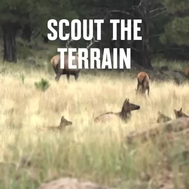
No public ad copy is available for this sample.
onXmaps, Inc
YouTube
No public ad copy is available for this sample.
onXmaps, Inc
YouTube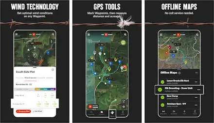
No public ad copy is available for this sample.
onXmaps, Inc
YouTube
No public ad copy is available for this sample.
onXmaps, Inc
YouTube
No public ad copy is available for this sample.
onXmaps, Inc
YouTube
Plan your hunt with topo maps, property lines, GPS navigation, and map layers
onXmaps, Inc
YouTube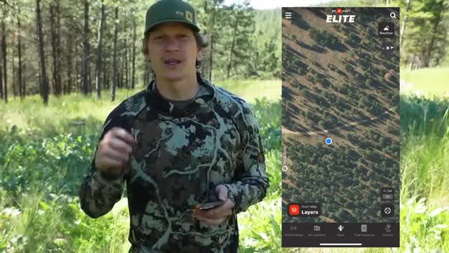
Plan your hunt with topo maps, property lines, GPS navigation, and map layers
onXmaps, Inc
YouTube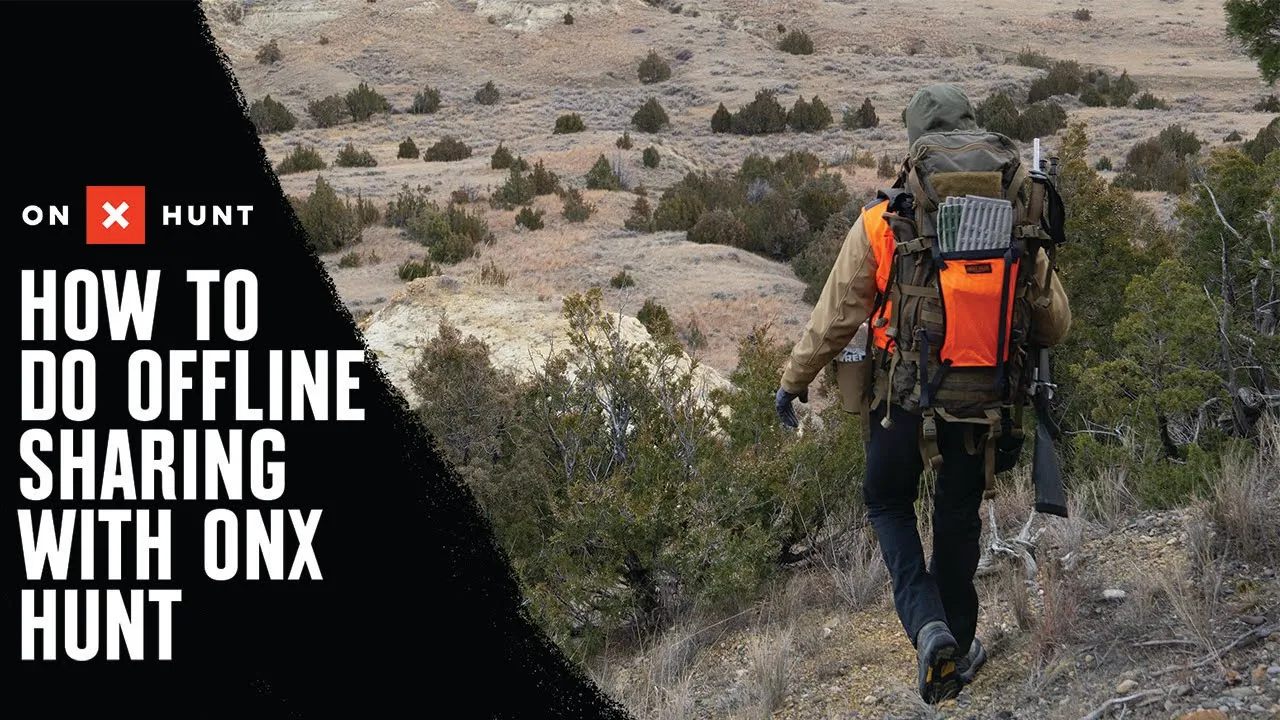
No public ad copy is available for this sample.
onXmaps, Inc
YouTube
Plan your hunt with topo maps, property lines, GPS navigation, and map layers
onXmaps, Inc
YouTube
No public ad copy is available for this sample.
More data
Sign in to view full trends, creative analysis, audience data, and history. You can also filter and export the results.
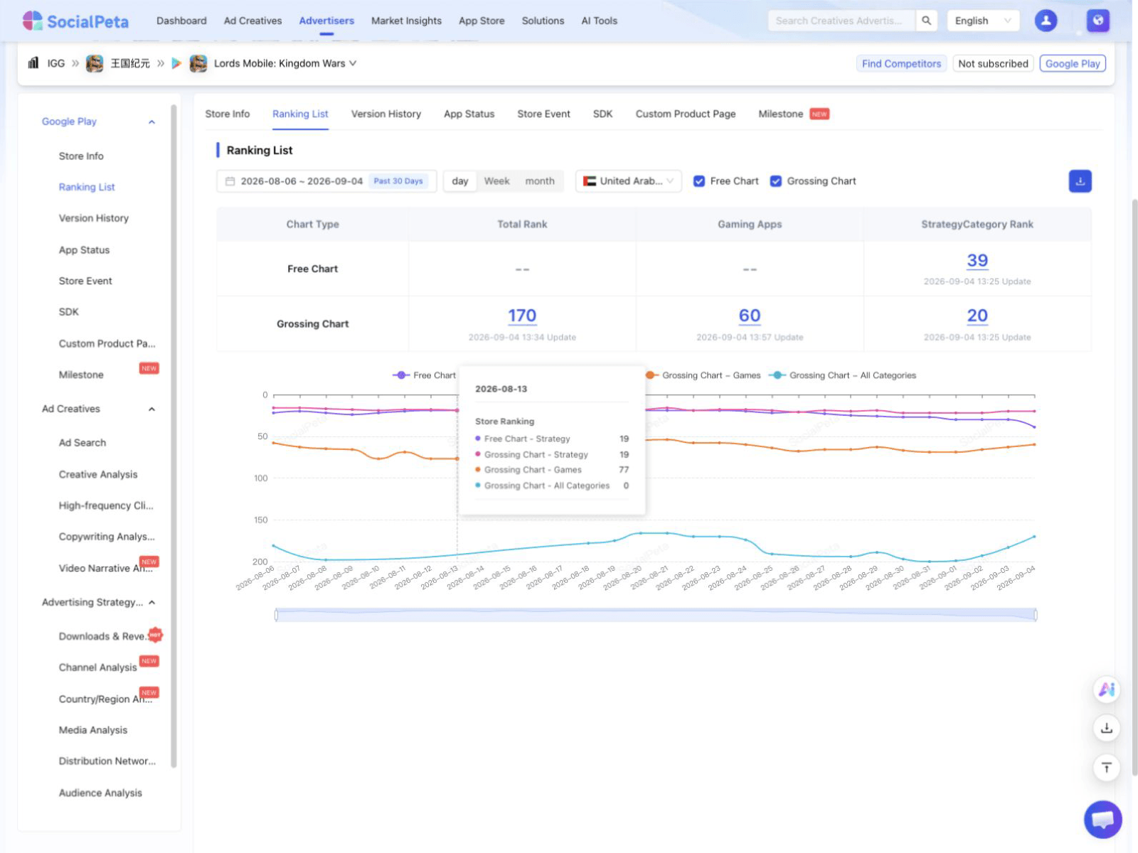 Product interface preview
View daily ranking charts and compare categories or markets.
Ad figures only cover activity observed by SocialPeta and do not represent the advertiser's full media plan. Store details come from the current source market. Paid data is not included in this page.
Public data last updated Nov 4, 2026
First released
Nov 8, 2013
Current version
varies_with_device_2026-10-23
Price
0.00
In-app purchases
Yes
Age rating
Everyone
Source market
United States
Store categories and subcategories
Estimated revenue
Downloads and revenue are SocialPeta estimates based on public and observed data, not official store settlement figures.
Store coverage
46
Listed markets
No preorder markets found.
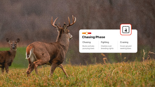
Clearly understand each phase of the rut, when it will happen where you hunt, and the tactics you need to deploy to find success. Follow the Rut Calendar with a countdown and hunt each phase with precision. Check in on local hunter reports and contribute your own by reporting in on deer activity in your vicinity.
Visit event page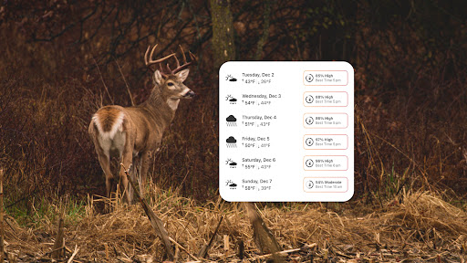
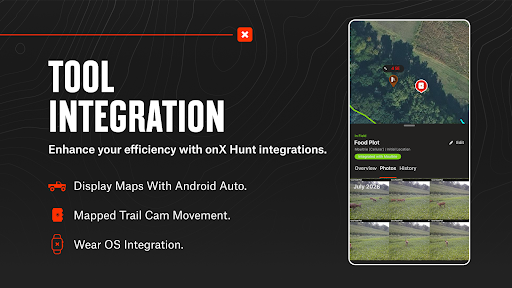
A successful whitetail hunt starts long before the truck door shuts and the hike in starts. When you plan your hunts using deer movement forecast, you get the inside scoop on where the deer are likely to be. Trail camera integration puts your cell cam photos on your phone and ties them to waypoints where they were taken. Add up all these little details, and you’ll find out why onX Hunt is the most powerful tool available to whitetail hunters around the country.
Visit event page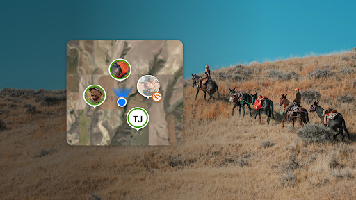
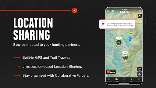
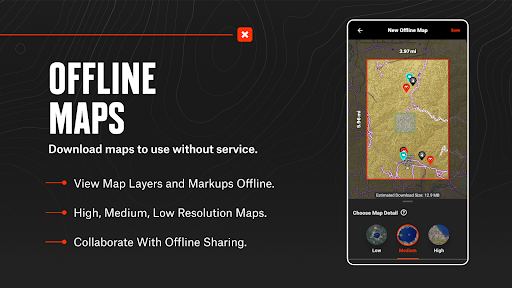
No matter what your objective, planning and preparation are critical for a safe and successful hunt. Group location sharing keeps everyone on the same page and eliminates uncertainty. Offline maps keep you in the know even when cell service is miles behind you. With collaborative folders, you and your hunting buddies can work from the same playbook. Don’t head into the season unprepared. Let onX Hunt help you find success.
Visit event page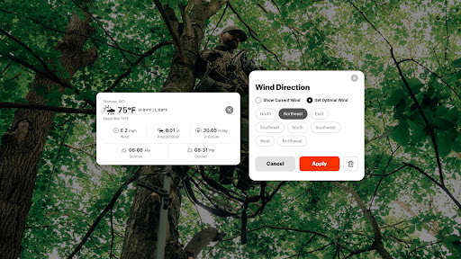
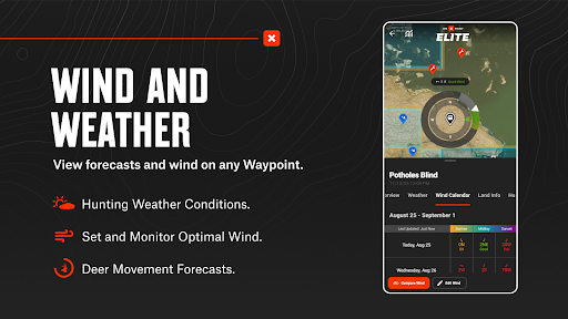
Let trail cameras and glassing tell you a buck’s story. Start paying attention to what wind a buck favors and which direction he comes from in the evening. Monitor weather forecasts and wind patterns. Mark water sources with waypoints, and use the tracker to plan covert routes you can reference in the dark. Predict whitetail patterns with deer movement forecasts to visualize how deer move across a property.
Visit event page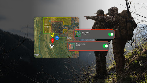
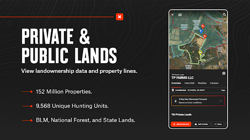
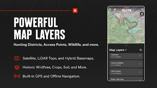
Confirm public and private land opportunities and pinpoint where you’ll need to set up camp. Map out your access routes or study road and trail systems with map layers. Use the lidar basemap to find “hidden” benches or identify your next campsite with 3D terrain. Download offline maps to access all of your markups in the field without cell coverage. Access the tools you need to find more success this elk season.
Visit event page
When something goes wrong in the field, onX SOS connects you directly to a 24/7 professional rescue team that coordinates help and covers rescue and evacuation costs—no separate hardware, two-way communication, no claims process. Add onX SOS to your existing Membership and receive the most complete rescue coverage at the lowest price in the market. Feel confident to go anywhere with coverage across 220 countries, no altitude or activity limits, no deductibles, and no caps.
Visit event page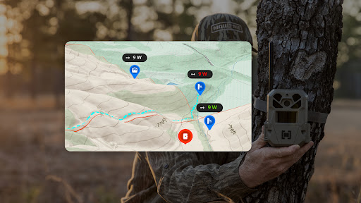
Scout for the season ahead and find trail camera placements that produce. View 3D lidar maps to find the ridges, pinch points, and low-laying terrain that will work to your advantage. Gain intel on wind direction with optimal wind and hourly weather forecasts. Track your deer, share your findings, and be in the right spot on opening day. Receive, organize, and analyze your trail camera photos with onX Hunt.
Visit event page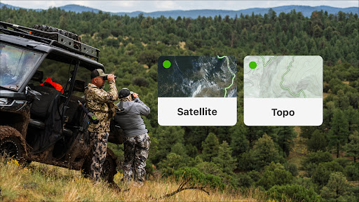
Take advantage of onX Hunt's extensive hunting guides and scouting tools to prepare for the upcoming season. Analyze terrain with 3D lidar topo maps or recent satellite imagery. Pinpoint natural travel corridors, drainages, and other features that can influence animal movements. Evaluate a hunting area and save map markups (Waypoints, Lines, Shapes, and Tracks) on your desktop. onX Hunt syncs your data across all of your devices, so you can be more efficient when you hit the field.
Visit event pageTake advantage of onX Hunt's extensive hunting guides and scouting tools to prepare for the upcoming season. Analyze terrain with 3D lidar topo maps or recent satellite imagery. Pinpoint natural travel corridors, drainages, and other features that can influence animal movements. Evaluate a hunting area and save map markups (Waypoints, Lines, Shapes, and Tracks) on your desktop. onX Hunt syncs your data across all of your devices, so you can be more efficient when you hit the field.
Visit event page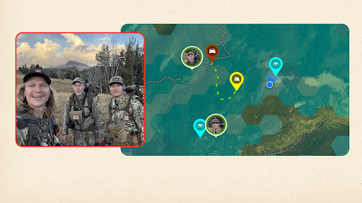
You had a great teacher. Now, make new memories together with onX Hunt. Live Location Sharing lets your group split up, stay spaced out, and regroup with confidence. Sharing supports up to 10 people in a single, private session with locations updating every five seconds. Nothing is shared beyond your group. Eliminate uncertainty and stay connected in real time.
Visit event page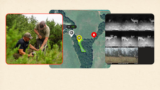
His instincts. Your intel. Show him how you do it with onX Hunt and integrate your trail cameras to view mapped movement. Filter photos by location and see every camera, photo, and update in one place. Analyze trail camera movement and find success on the hunt together with sharper tools.
Visit event pageVersion
varies_with_device_2026-10-15Updated on
Description
Version
varies_with_device_2026-09-25Updated on
Description
Version
varies_with_device_2026-09-11Updated on
Description
Version
varies_with_device_2026-08-28Updated on
Description
Version
varies_with_device_2026-08-18Updated on
Description
Version
varies_with_device_2026-08-14Updated on
Description
Version
varies_with_device_2026-08-03Updated on
Description
Version
varies_with_device_2026-07-17Updated on
Description
Version
varies_with_device_2026-07-10Updated on
Description
Current rank
#1
30-day best: #1
Previous rank: #1
Nov 3, 2026

App Store
Related app
Cumulative active days observed
8
Advertising channels observed
174
Countries and regions observed
5 additional segments observed
171 additional segments observed
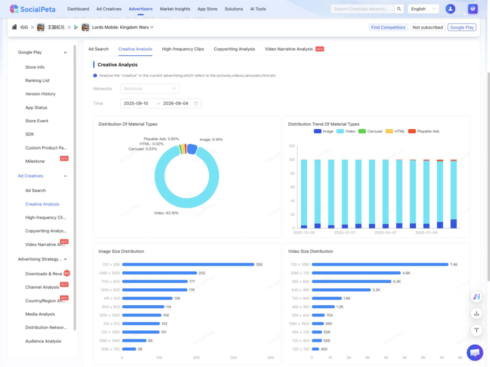 Product interface preview
Compare creative formats, dimensions, duration, recurring clips, and ad copy.
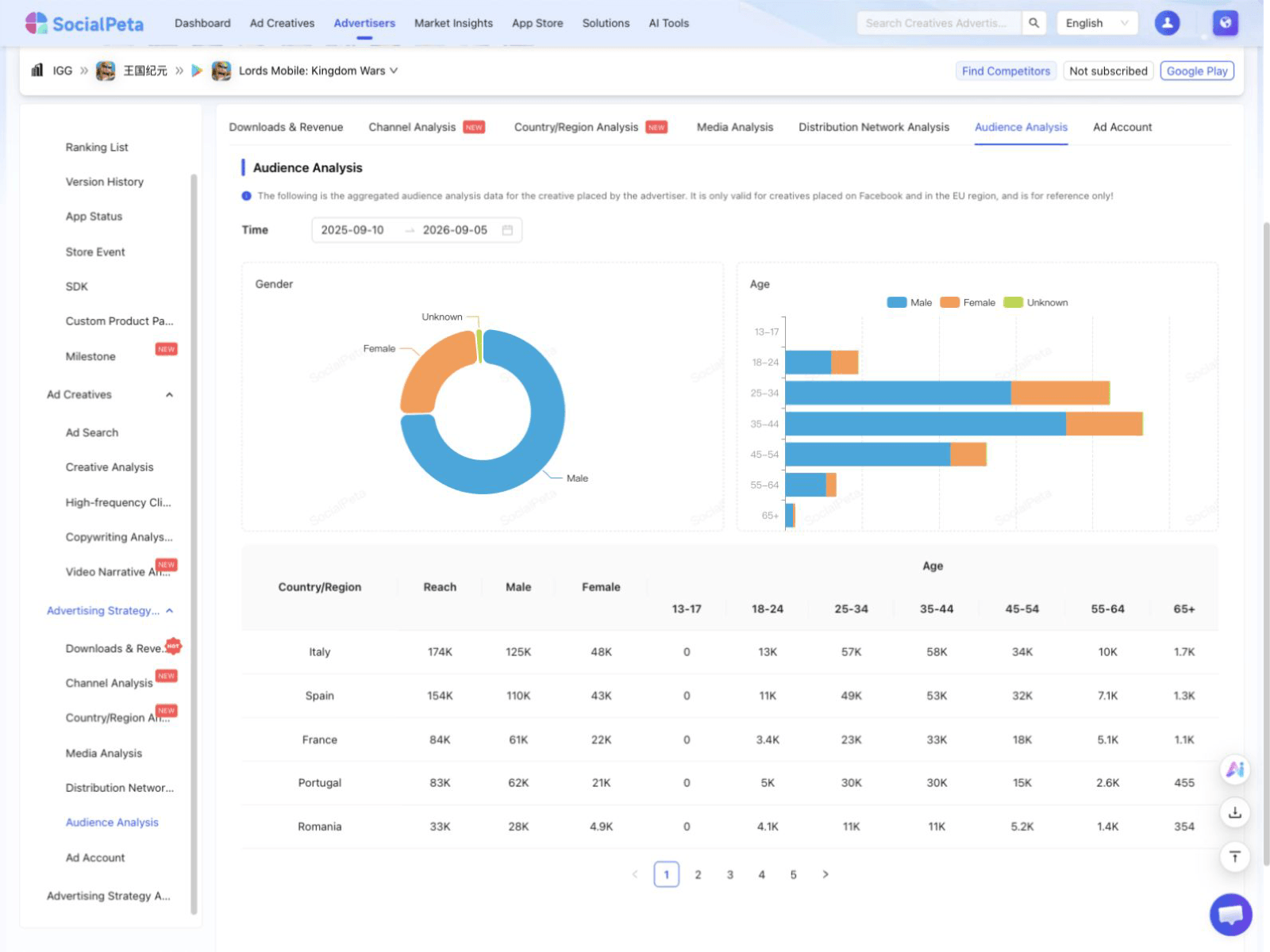 Product interface preview
View audiences, publishers, networks, channels, countries, and delivery platforms.
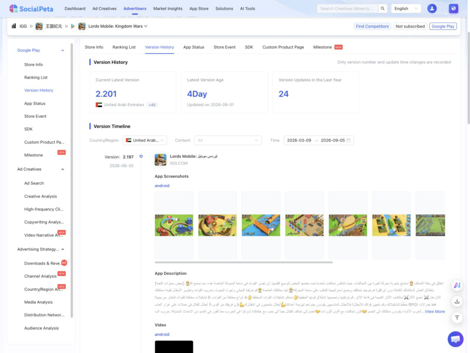 Product interface preview
View version changes, listing status, store events, SDKs, and custom product page history.